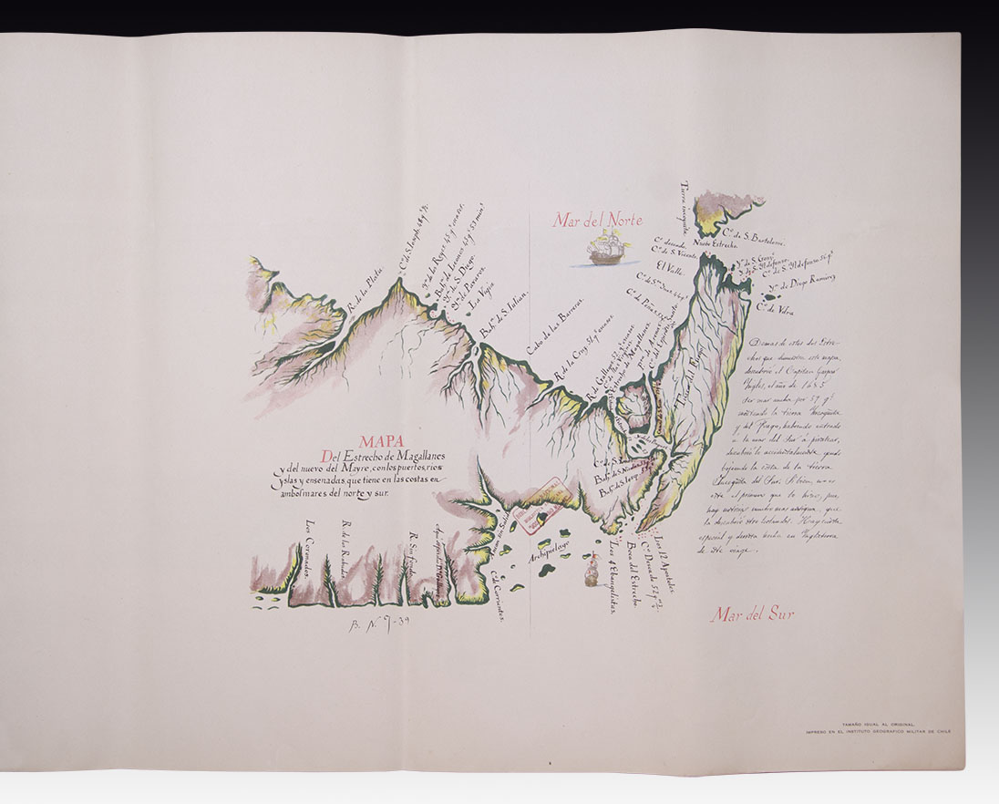
OF THE MOST SOUTHERN PORTION OF AMERICA
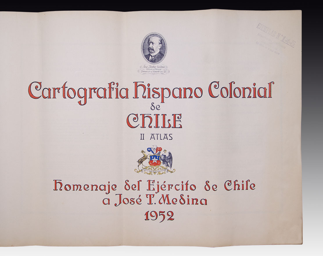
Hispanic Colonial Cartography of Chile. Santiago de Chile. 1952. Atlas, Tribute of the Chilean Army to José Toribio Medina.
Large Folio, landscape (54 x 74 cm), 16 unnumbered pages, plus 15 plates with maps. Rustic publisher's binding. Facsimile of the first maps of Chile, belonging to the American Library of Chile "José Toribio Medina," (National Library of Chile). Medina's comments and portrait on the cover. An example that, due to the large size of the plans, was kept folded for many years.
The Atlas presents the geographical charts that belonged to the personal collection of José Toribio Medina, the great Chilean historian of the 19th and early 20th centuries. The edition was made in his homage and has become a reference work.
Medina (1852 - 1930), born in Santiago de Chile, was an exceptional bibliographer who cultivated special interest in the development of South American cartography. Without a doubt, one of the most outstanding personalities in the region. As a result of his research and translations, he was able to edit more than five hundred titles, many of them in his own house with the presses called "Ercilla and Elzeviriana". José Toribio Medina was a great researcher-he studied with particular emphasis the origin of printing presses throughout America-, and he formed an important collection that brought together more than fifty thousand works. His legacy is today in the room that bears his name in the National Library of Santiago.
S.O.XVII-GHM
| AUTHOR | MEDINA, JOSÉ TORIBIO |
|---|
Are you interested in selling some works?
Send us an email briefly indicating
which works you intend to put on sale, and we will respond. click here
Subscribe to our newsletter to be updated.
Check our Newsletters